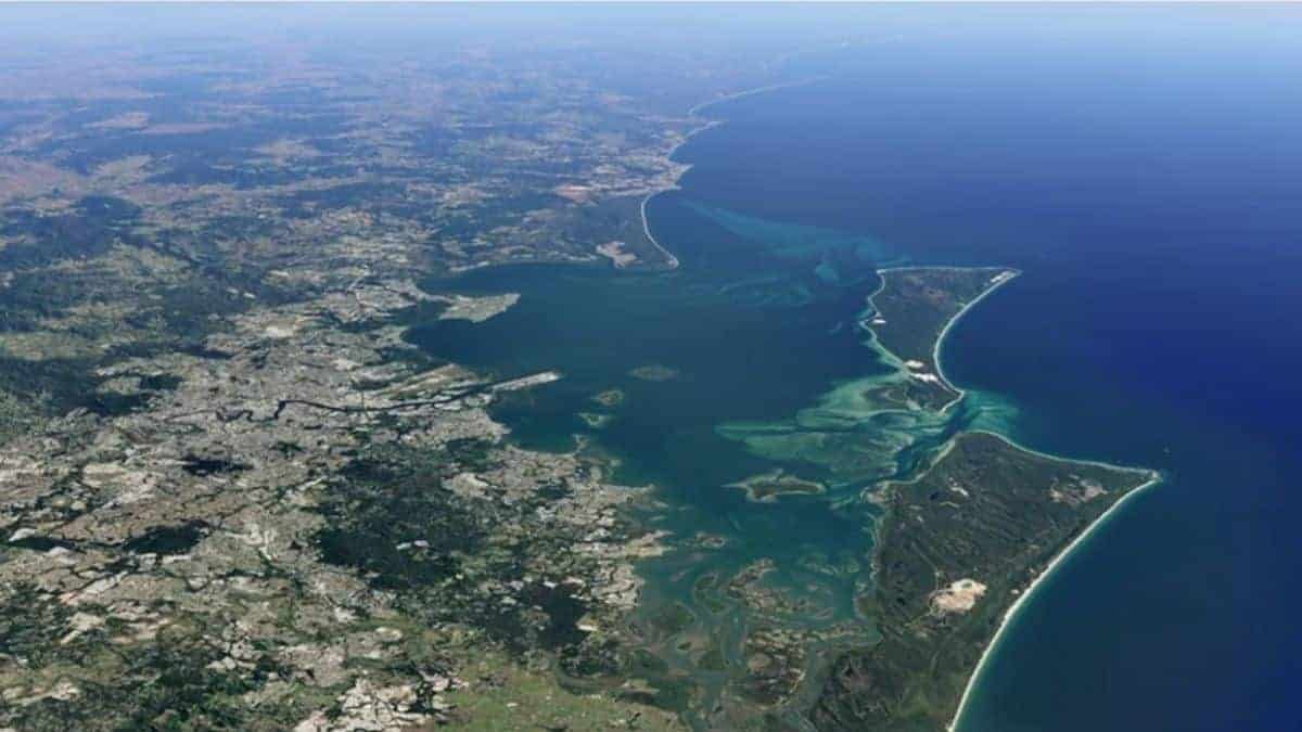
Time-lapse in Google Earth Updated with New Imageries from 2021 and 2022: Read More About it

New imageries from 2021 and 2023 have been added to the time-lapse of Google Earth. Users will now be able to witness planetary changes which took place over a period of four decades.
Here’s more about it.
Time-lapse in Google Earth Updated with New Imageries
Timelapse in Google Earth enables its users to witness all the important changes which took place on the planet and with the 2021 and 2022 imageries, users will be able to see changes that have happened to start from the year 1984 to 2022. All the major and minor changes which took place including the changes in landscapes, construction of buildings, roads, irrigation systems, changes in water bodies, mountains, and almost everything can be viewed in Google Earth’s time-lapse.
What you see in Google’s time-lapse is a 4D interactive map made from millions of satellite images, which can be zoomed in and out to even see the minute changes that happened to a particular region over a particular period of time. All these were possible in Google Earth’s time-lapse because of the open access it has to the data of NASA, the United States Geological Survey’s Landsat Program (that is considered the world’s first and longest-running civilian Earth observation program), and also with the European Union’s Copernicus program conducted with its own Sentinel satellites.
On Google Earth’s library, users can also view over 800 time-lapse videos from more than 300 locations as well. The sources Google is so authentic that these images and videos are being used by students, teachers, and researchers. These imageries were also used in the making of The Territory, a 2022 documentary that portrays the devastations caused by deforestation across the regions of the Amazon and on their local communities.
Go ahead and check the time-lapse feature in Google Earth, and see for yourself the changes which took place on the Earth’s surface within a span of four decades.


